Legacy of the Satire Map
A short clip that explores the legacy of political cartoonists such as Fred W Rose.
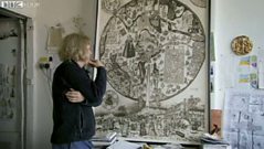
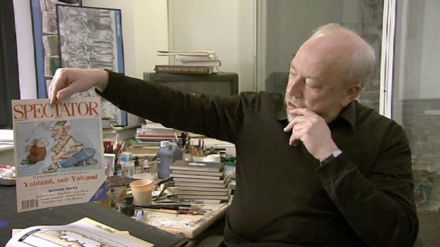
How his legacy lives on today in the work of graphic artists and political cartoonists such as Peter Brookes.
Documentary series charting the visual appeal and historical meaning of maps.
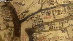
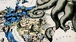
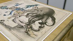
The series concludes by delving into the world of satirical maps. How did maps take on a new form, not as geographical tools, but as devices for humour, satire or storytelling? Graphic Artist Fred Rose perfectly captured the public mood in 1880 with his General Election maps featuring Gladstone and Disraeli, using the maps to comment upon crucial election issues still familiar to us today. Technology was on the satirist's side with the advent of high-speed printing allowing for larger runs at lower cost. In 1877, when Rose produced his 'Serio Comic Map of Europe at War', maps began to take on a new direction and form, reflecting a changing world.
Rose's map exploited these possibilities to the full using a combination of creatures and human figures to represent each European nation. The personification of Russia as a grotesque-looking octopus, extending its tentacles around the surrounding nations, perfectly symbolised the threat the country posed to its neighbours.
Duration:
This clip is from
More clips from Cartoon Maps - Politics and Satire
-
![]()
Satire Maps and Fred W Rose
Duration: 03:31
More clips from The Beauty of Maps
-
![]()
Colouring Maps—City Maps - Order out of Chaos
Duration: 01:56