'Flaming' June washout set to continue

Paul Hudson
The very unsettled weather which has plagued June so far looks set to continue.
Rainfall totals at the weekend were again in excess of an inch (25mm) across parts of North Yorkshire; this followed a very wet and cool Jubilee weekend.
With another area of low pressure set to spoil things this coming weekend, that's three poor weekends in succession.
June is rapidly turning into a month to forget and is likely to end up the wettest since the infamous June of 2007, which caused serious flooding across Yorkshire and Lincolnshire, although there's no indication that rainfall totals this month will reach June 2007's record breaking levels.
An active weather front will bring heavy rain to many areas through Thursday night and into Friday, with its associated area of low pressure becoming slow moving across the UK over the weekend.
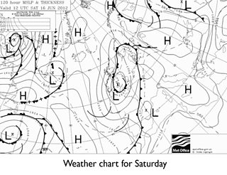
The chart shown below is for Saturday.
At this time of the year it's an indication that heavy, thundery showers are almost inevitable which could lead to some localised flooding.
Last weekend a number of events, including the Bradford Mela and the Honley Show, were cancelled due to waterlogged ground.
The worry must be that events planned this coming weekend could fall foul of the inclement weather too.
There are some indications that pressure may start to recover next week, leading to something of an improvement in our weather hopefully in time for the Olympic torch arriving in Yorkshire.
But there's certainly no indication of anything that could be remotely described as prolonged, warm & settled on the way in Yorkshire and Lincolnshire anytime soon.
UK summers are often a case of grab any fine weather while it lasts, and this may well be good advice through the rest of 'flaming' June, and into early July.
Follow me on twitter @Hudsonweather